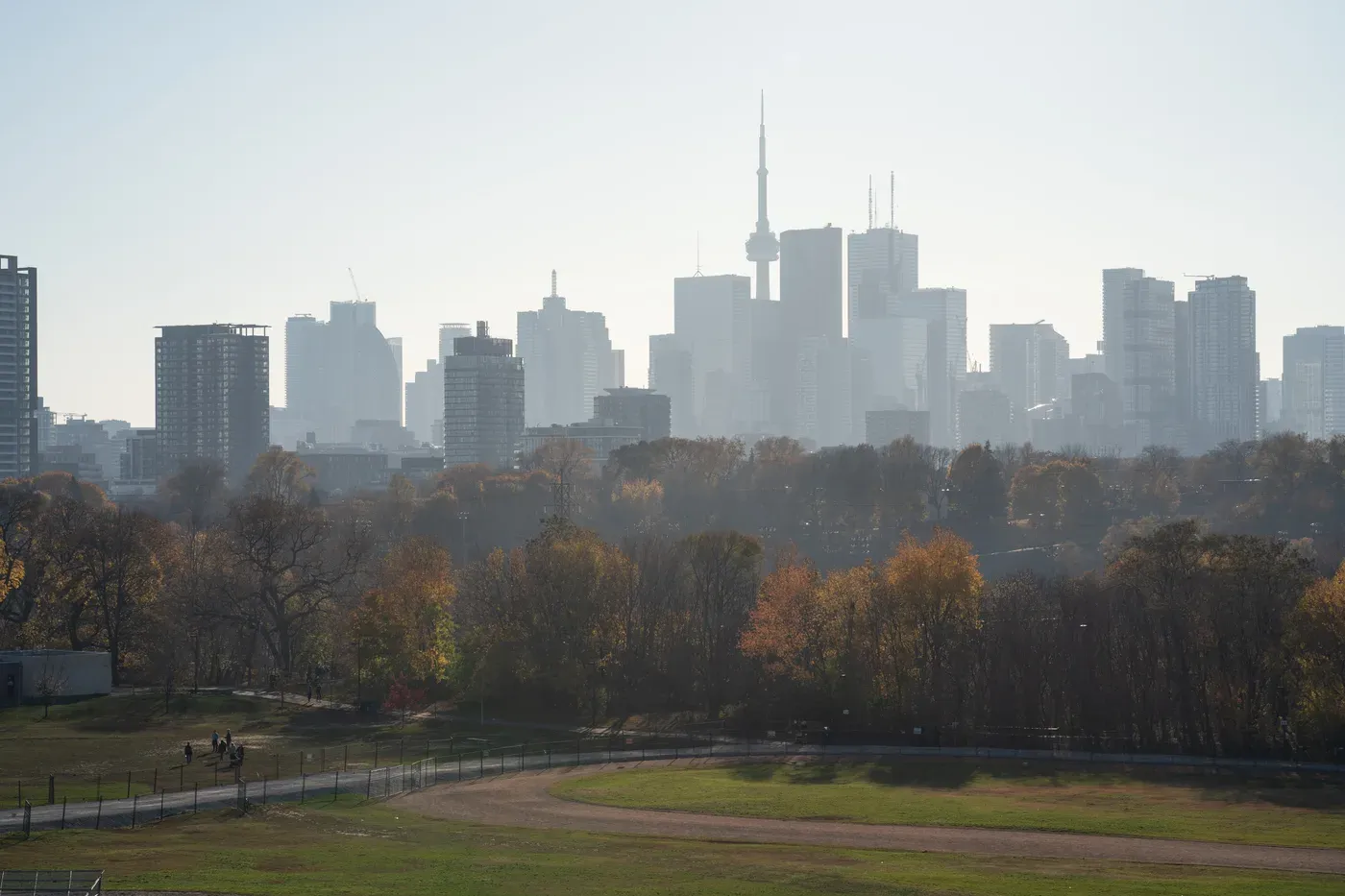
The best beginner running routes in Toronto are flat, paved and away from car traffic: the West Toronto Railpath (2.1 km of asphalt), the Martin Goodman Trail along the waterfront, the Lower Don Trail (about 5 km in the valley), the Kay Gardner Beltline, and the car-free roads in High Park. If you’re starting from zero, pick the one closest to home and run-walk for 20 to 30 minutes. Distance comes later.
What makes a route good for a beginner
A good first route is flat, continuous and boring in the right way. Hills, traffic lights and uneven ground all make the first month harder than it needs to be. Look for:
- Few or no road crossings, so you can hold an easy pace without stopping.
- A paved or packed surface, which is kinder to ankles and easier to judge in poor light.
- An out-and-back or loop format, so you can turn around whenever you’ve done your time.
- Other people around, which helps both safety and motivation.
All seven routes below meet most of these. Distances come from the City of Toronto where it publishes them; where it doesn’t, none are given.
Seven routes, from shortest to longest
| Route | Where | Surface and length | Why it suits beginners |
|---|---|---|---|
| West Toronto Railpath | Cariboo Ave. to Dundas St. W., Junction Triangle | Asphalt, 2.1 km, 3.6 m wide | Dead flat and straight. Stair-only entrances at Dupont St. and Bloor St. W.; accessible ones at several side streets (City of Toronto) |
| Taylor Creek Trail | Taylor Creek Park, east of the Don | Park paths through a linear park | Trees and wildlife on both sides; joins the Lower Don if you want to go further |
| Lower Don Trail | Pottery Road to Corktown Commons | Multi-use trail, about 5 km | Valley floor, no traffic. Parts get covered in runoff and silt after heavy rain, especially from the Riverdale footbridge south to Dundas St. |
| Kay Gardner Beltline Trail | Allen Road (south of Elm Ridge Dr.) to Mount Pleasant Cemetery | Former railway line | Follows old ravines and green spaces through midtown |
| High Park | Bloor St. W. to The Queensway | Park roads and paved trails | West Road and part of Colborne Lodge Drive are car-free; six paved entrances (City of Toronto) |
| Toronto Island | Ferry from Jack Layton Ferry Terminal, 9 Queens Quay W. | Island park paths | Ward’s Island to Centre Island is about a 35-minute walk, a ready-made first run-walk |
| Martin Goodman Trail | Western beaches to eastern beaches | Paved, 20+ km in total | Flat lakeside running; use any stretch near you as an out-and-back (City of Toronto) |
How to get to them without a car
Most of these routes are reachable by transit, which matters if you want to run straight from work:
- High Park: the 506 Carlton streetcar runs to the High Park Loop, and Line 2 stops at High Park station.
- Toronto Island: the ferry leaves from the foot of Bay Street. An adult round-trip ticket is $9.57, and tickets bought online can be used any day until the end of that year (City of Toronto). The City notes Centre Island is the busiest ferry route, so Ward’s Island is the calmer place to start.
- West Toronto Railpath: entrances along Dundas St. W. and several side streets in the Junction Triangle.
- Martin Goodman Trail: it runs the length of the waterfront, so pick the stretch closest to a transit stop you already use.
A first month on these routes
Run by time, not distance, and alternate running with walking. The beginner running plan for men over 40 lays out a full progression; this is the short version:
| Week | Three times a week | Route idea |
|---|---|---|
| 1 | 1 min easy run, 2 min walk, × 8 | West Toronto Railpath, out and back |
| 2 | 1 min run, 1 min walk, × 10 | Taylor Creek Trail |
| 3 | 2 min run, 1 min walk, × 8 | Lower Don Trail from Pottery Road |
| 4 | 3 min run, 1 min walk, × 6 | Martin Goodman Trail, any stretch |
Easy means you could hold a conversation. If you can’t, slow down or walk more. Leave a day between runs. Your heart and lungs adapt faster than your tendons, so an aching Achilles or shin is a sign to repeat a week, not push through. Starting running at 40 covers how to tell normal soreness from a warning sign.
Trail manners worth knowing
Toronto’s multi-use trails are shared with cyclists, scooters and dog walkers. The City’s trail etiquette is simple: keep to the right, pass on the left, and don’t run side by side in a way that blocks others. On narrower trails, run single file when bikes are coming. Wearing one earbud, or none, lets you hear a bell behind you.
What to do this week
Choose the route nearest your home or office, and do the week 1 session there twice this week. Write down the time and how your legs felt the next morning. That’s your starting point. When the snow arrives, the guide to winter running in Toronto covers which paths are cleared. If you want your runs planned around your strength training and work week, with weekly check-ins, look at weekly coaching.
Questions people also ask
What is the flattest place to run in Toronto?
The Martin Goodman Trail along the waterfront and the West Toronto Railpath are both paved and close to flat, which is why they suit beginners. The Railpath is a 2.1 km asphalt path beside the rail corridor, 3.6 metres wide.
Where can I run in Toronto without traffic lights?
The Lower Don Trail (about 5 km from Pottery Road to Corktown Commons), the Kay Gardner Beltline and the Toronto Island paths let you run without stopping at intersections. On all of them, you share the path with cyclists, so keep right.
Is it safe to run on Toronto's ravine trails alone?
Paved, busy trails like the Lower Don and Taylor Creek are fine for most people in daylight. On quieter natural-surface trails, carry a phone, tell someone your route, and save them for daylight hours.
How far should a beginner run?
Think in minutes, not kilometres. Start with 20 to 30 minutes of alternating one minute of easy running with one to two minutes of walking, three times a week, and build from there.